
 AI Governance
 Data Centers
 Drones
 Climate
 Privacy
 2026 Maine Senate
 Bob Dylan

Drones Map Disaster Risks at Gyirong
Coverage from DroneXL, CGTN, and others
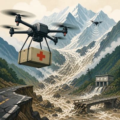
Chinese and Nepali authorities are using reconnaissance, mapping and heavy-lift drones to assess flood and mudslide damage, monitor unstable terrain and barrier lakes, deliver supplies, and support rescue operations near the Gyirong border area.
The response shows drones extending emergency access where roads, bridges and tunnels are damaged, while also helping identify secondary hazards that could threaten rescuers. China has deployed a more established multi-drone and sensor operation, while Nepal is testing and expanding its own emergency cargo-drone procedures.
If you read one thing
It provides the clearest broad overview of how drones supported surveillance, search and logistics amid blocked access and ongoing flood hazards.
Best explainer
It explains the operational contrast between China’s integrated drone response and Nepal’s cargo-drone testing and deployment constraints, with specific evidence.
The local angle
It offers a distinct on-the-ground view of drone mapping, hazard monitoring and supply delivery at the China-Nepal border rescue site.
Drones are bridging blocked access routes
Heavy-lift and reconnaissance drones are sustaining relief, surveillance and rescue activity where floods, mudslides and damaged roads or bridges restrict ground access. Their clearest operational value is last-mile delivery and assessment of isolated or hazardous areas.
Drone operations are embedded in wider response systems
Drones are being used alongside helicopters, vehicles, mapping, hazard monitoring and airborne communications rather than as standalone assets. This integration supports terrain assessment, communications restoration and supply movement while conventional access remains disrupted.
Nepal’s emergency deployment gap limits available capability
Nepal has demonstrated that heavy-lift drones can deliver relief across damaged routes, but officials lack a rapid procedure for mobilizing private operators and must still determine how testing enters the formal response. The constraint is organizational and regulatory as much as technical.
47 drones
drones deployed by China’s National Fire and Rescue Administration
“By Thursday evening, China’s National Fire and Rescue Administration had deployed 681 firefighters, 13 rescue dogs, 113 vehicles and 47 drones after the mudslide buried the border port.”
130 pounds (59 kilograms) pounds (kilograms)
relief supplies carried on the first flight
“The aircraft was rated for 220 pounds (100 kilograms), while the first flight carried 130 pounds (59 kilograms) of rice, instant noodles, clothing and sanitary pads. The cargo was tied beneath the aircraft with ropes and carabiners. The drone crossed the river, hovered while testers unloaded the supplies, and returned in a round trip of about three minutes.”
220 pounds (100 kilograms) pounds (kilograms)
drone rated cargo capacity
“The aircraft was rated for 220 pounds (100 kilograms), while the first flight carried 130 pounds (59 kilograms) of rice, instant noodles, clothing and sanitary pads. The cargo was tied beneath the aircraft with ropes and carabiners. The drone crossed the river, hovered while testers unloaded the supplies, and returned in a round trip of about three minutes.”
about three minutes
round-trip flight duration
“The aircraft was rated for 220 pounds (100 kilograms), while the first flight carried 130 pounds (59 kilograms) of rice, instant noodles, clothing and sanitary pads. The cargo was tied beneath the aircraft with ropes and carabiners. The drone crossed the river, hovered while testers unloaded the supplies, and returned in a round trip of about three minutes.”
more than 3,200 people
people evacuated by helicopters
“Helicopters remained essential, evacuating more than 3,200 people, and drones cannot replace them for lifting families from rooftops.”
No material change is evident because no new topic members were supplied.
Previously
Drones are supporting rescue and relief operations after glacier-collapse flooding and mudslides disrupted roads, bridges, hydropower infrastructure and communications near the Nepal-China border. Chinese teams are using reconnaissance drones, three-dimensional mapping, heavy-lift aircraft and airborne communications to monitor hazards and move supplies, while Nepal has begun testing heavy-lift cargo drones for access across damaged routes. The response highlights the practical value of drones when terrain and flooding restrict ground access, as well as Nepal’s limited emergency deployment procedures.
The response has expanded from drone-enabled access and logistics into more systematic hazard detection and rescuer-safety operations. China is also supporting Nepal directly by providing drones and training military personnel, police and volunteers.