
 AI Governance
 Data Centers
 Drones
 Climate
 Privacy
 2026 Maine Senate
 Bob Dylan

Drones Accelerate Typhoon Disaster Response
Coverage from Dronexl, DRONELIFE, and others
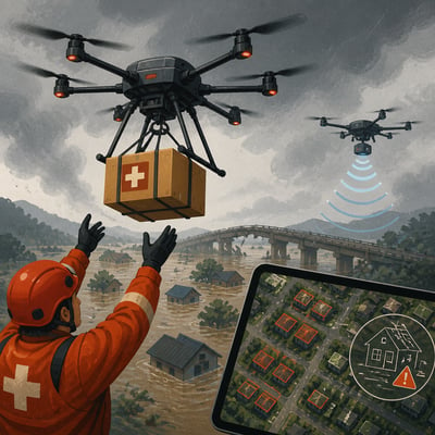
Drones are being used to support typhoon and flood response through rapid damage mapping, AI analysis, heavy-lift rescue, supply delivery, communications restoration, infrastructure inspection, and low-altitude weather monitoring.
FlyGuys and TerraFort assessed more than 4,000 residential structures in the Northern Mariana Islands within 10 days of Typhoon Sinlaku, while Chinese agencies deployed heavy-lift, relay, inspection, and sensing drones during flooding and typhoon-related operations. The reported deployments show how drones can extend emergency access when roads, flights, communications, and conventional surveys are disrupted, while payload limits, safety requirements, and rules on carrying people remain constraints.
The story now adds concrete outcomes and broader operational detail: the Northern Mariana Islands assessment was tied to grant and planning use, while Chinese drone operations are shown doing more than logistics by including rescue, relays, monitoring, and weather-data collection. The framing also sharpens the legal and safety limits around heavy payloads and human carriage.
The story broadens from isolated disaster-drone deployments to coordinated emergency-response systems that integrate logistics, communications, weather sensing, and automated damage assessment. The new version also adds a larger operational footprint and a clearer example of a human-carrying rescue that underscores unresolved safety and regulatory limits.