
 AI Governance
 Data Centers
 Drones
 Climate
 Privacy
 2026 Maine Senate
 Bob Dylan

Everest Becomes a Drone Testbed
Coverage from HeliHub.com, DroneXL, and others
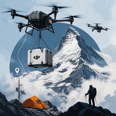
Drone operators are testing cargo, mapping, and research missions in the Everest region under extreme altitude, cold, wind, and terrain conditions.
DJI and Airlift have used heavy-lift drones to move climbing supplies and waste between Base Camp and Camp 1, while other DJI aircraft mapped the Khumbu Icefall and delivered atmospheric instruments for Peking University. The activity shows potential to reduce dangerous human carries, improve route and hazard information, and support environmental research, but Nepal’s permit process and security concerns remain important constraints on access and competition among manufacturers.
The main update is that the U.S.-made Freefly Everest demonstration was delayed or blocked by Nepalese permit and security reviews and shifted to Ama Dablam. DJI’s research program also gained a more specific result, with EV50 completing 12 atmospheric-transport flights.
The story now more clearly centers on a live geopolitical contest over Everest drone logistics, with Nepal’s permit decisions affecting both Chinese and U.S. systems. The permit episode has been clarified as a suspension-and-restoration cycle, rather than just a one-off denial.
The story now includes a new regulatory twist: alongside confirming Everest drone logistics at scale, it adds that Nepal blocked or suspended operations and denied a separate U.S. drone demo over security and permit concerns. It also introduces more concrete mission metrics, including heavier payloads, total season tonnage, and a higher-altitude atmospheric research flight.
- FlyCart 100 reportedly carried up to 47 kilograms above 6,300 meters.
- Airlift and DJI moved 10,073 kilograms during the 2026 spring season.
- Nepal denied a planned US Alta X Gen 2 demonstration.
- EV50 reached a reported 8,861 meters on Everest’s north side.
- Matrice 4E mapped over three square kilometers at centimeter-level detail.
The story has broadened from a few Everest drone use cases into a denser, more validated operations picture, with repeated flights confirming that DJI platforms are being actively used rather than merely tested. The new emphasis is also more explicit about regulatory friction and altitude-performance limits shaping what is feasible on Everest.
- Coverage expanded from 5 to 12 articles.
- Operations are now reported on both Nepal South Slope and China North Slope.
- EV50 is now linked specifically to ozone-measuring atmospheric payloads.
- Repeated flight data now includes payload, range, and altitude ceiling references.
- A brief FlyCart 100 permission suspension is now highlighted.
DJI is using Mount Everest as a proving ground for cargo delivery, mapping, and research flights, with the FlyCart 100, Matrice 4E, and new EV50 all featured in high-altitude missions. The work highlights practical gains for climber logistics, glacier monitoring, waste removal, and atmospheric science, while also showing how drone permissions in Nepal can be disrupted by security and geopolitical concerns. The topic is centered on extreme-environment performance and the operational limits of BVLOS-style drone use at altitude.