
 AI Governance
 Data Centers
 Drones
 Climate
 Privacy
 2026 Maine Senate
 Bob Dylan
Great Lakes Ice Records Track Change
Coverage from Michigan Advance, Interlochen Public Radio, and others
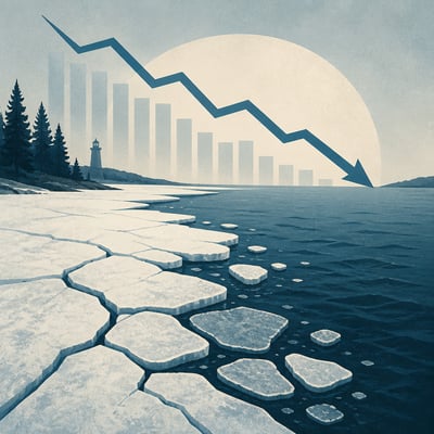
Researchers are combining historical weather records, satellite observations, and public ice-thickness measurements to build a clearer picture of changing lake-ice conditions across the Great Lakes region and Wisconsin.
The records indicate later freezes, earlier thaws, fewer average ice-covered days, and substantial year-to-year variability. Better ice data can improve safety forecasts and support research into fisheries, public health, agriculture, and ecosystem timing.
The story now adds a more operational data-collection angle: researchers are combining weather records, satellite data, and citizen-science ice-thickness measurements to improve understanding and forecasting of lake ice. It also broadens the implications from general winter-ecology impacts to more explicit safety and seasonal-timing uses.
The story is broadly the same, but the current version sharpens the climate-framing and expands the stated impacts beyond safety and ecology to health and agriculture. It also adds named institutional/research actors to the Great Lakes ice analysis.