
 AI Governance
 Data Centers
 Drones
 Climate
 Privacy
 2026 Maine Senate
 Bob Dylan
Autonomous Drones Expand Maritime Weather Missions
Coverage from FedScoop, DRONELIFE, and others
U.
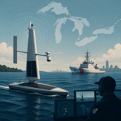
S. government agencies and research partners are deploying autonomous surface and aerial drones to extend maritime surveillance and improve weather observations. The Coast Guard is using Saildrone Voyager vessels on the Great Lakes and in the Northeast for persistent monitoring, while NOAA and academic researchers are using drones and unmanned surface vessels to collect data around hurricanes and in the lower atmosphere. These missions show drones moving beyond short flights toward long-duration, remotely supervised operations, while questions remain about data governance, autonomy, and the reliability of preliminary forecasting benefits.
The story now gives a clearer implementation picture: Coast Guard surveillance has expanded to the Northeast, and NOAA’s aerial and surface drone missions are more concretely tied to hurricane-season operations. The main framing shift is from general monitoring experiments to longer-duration deployments with still-unsettled data-governance and autonomy limits.
The story broadens from Coast Guard and NOAA drone trials into a larger operational weather-observation system, adding Oklahoma’s 3D Mesonet and Meteomatics infrastructure. The new emphasis is on repeated sensing, forecast-model integration, and the buildout of supporting launch and recovery hardware, while privacy and contractor accountability remain unsettled.